
|
DOCUMENTATION_FORMAT: MIXTURE
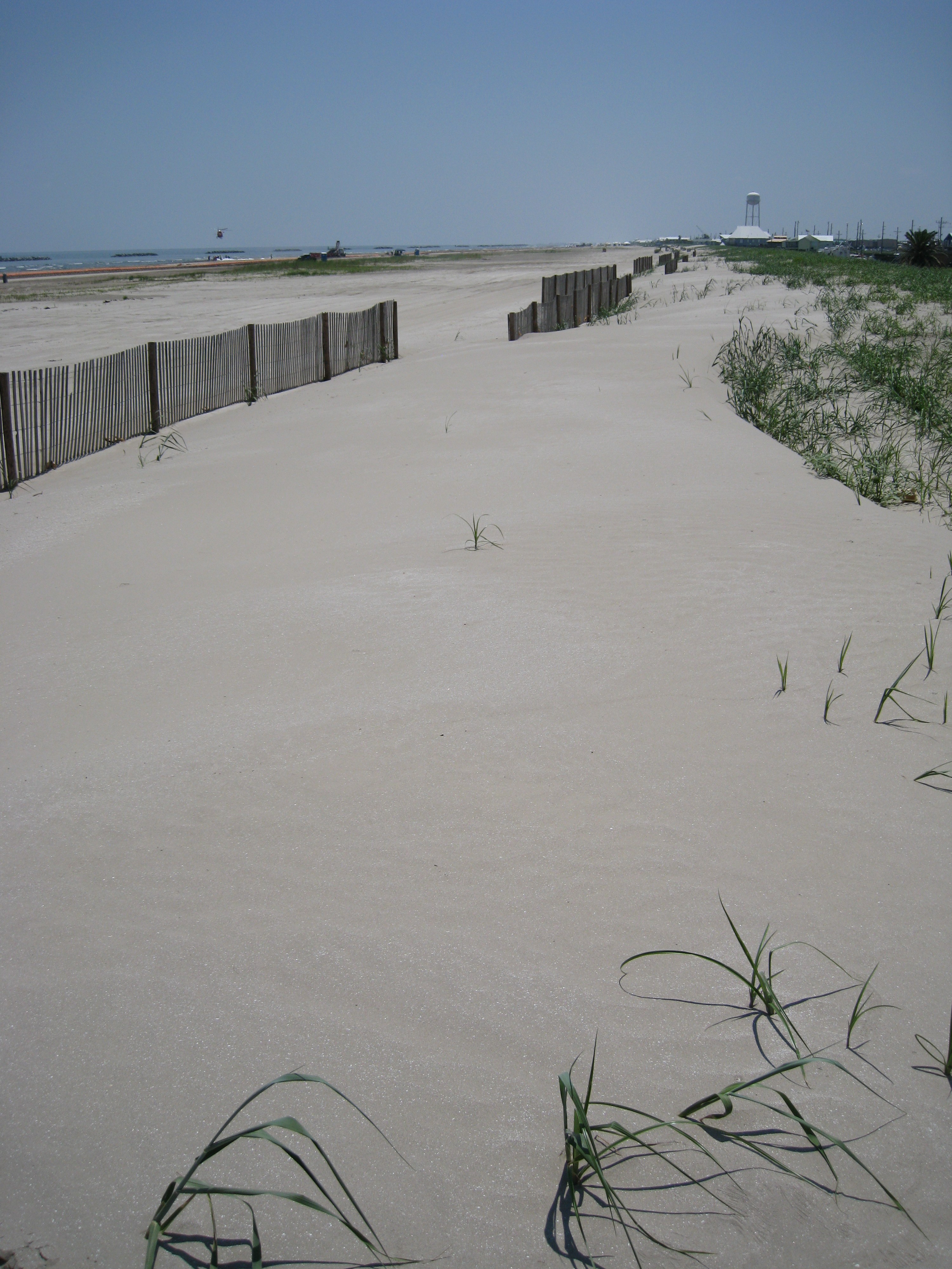
SAMPLE_ID: GrndIsle1 dune sand near DWO-06
MIXTURE_TYPE: Areal
MIXTURE: beach sand
FORMULA:
FORMULA_HTML:
COLLECTION_LOCALITY: Grand Isle, Louisiana
COLLECTION_LATITUDE: 29.24687 deg. N
COLLECTION_LONGITUDE: 89.96761 deg. W
DATUM: WGS-84
ORIGINAL_DONOR: Raymond F. Kokaly
CURRENT_SAMPLE_LOCATION:
ULTIMATE_SAMPLE_LOCATION:
SAMPLE_DESCRIPTION:
An area of bright clean dune sand that appeared to be oil-free. The reflectance measurement was made on June 9, 2010.
The spectrum was used in:
Kokaly, R.F., Couvillion, B.R., Holloway, J.M., Roberts, D.A., Ustin, S.L., Peterson, S.H., Khanna, S., and Piazza, S.C., 2013,
Spectroscopic remote sensing of the distribution and persistence of oil from the Deepwater Horizon spill in Barataria Bay marshes,
Remote Sensing of Environment, Volume 129, Pages 210-230. http://dx.doi.org/10.1016/j.rse.2012.10.028
IMAGE_OF_SAMPLE: 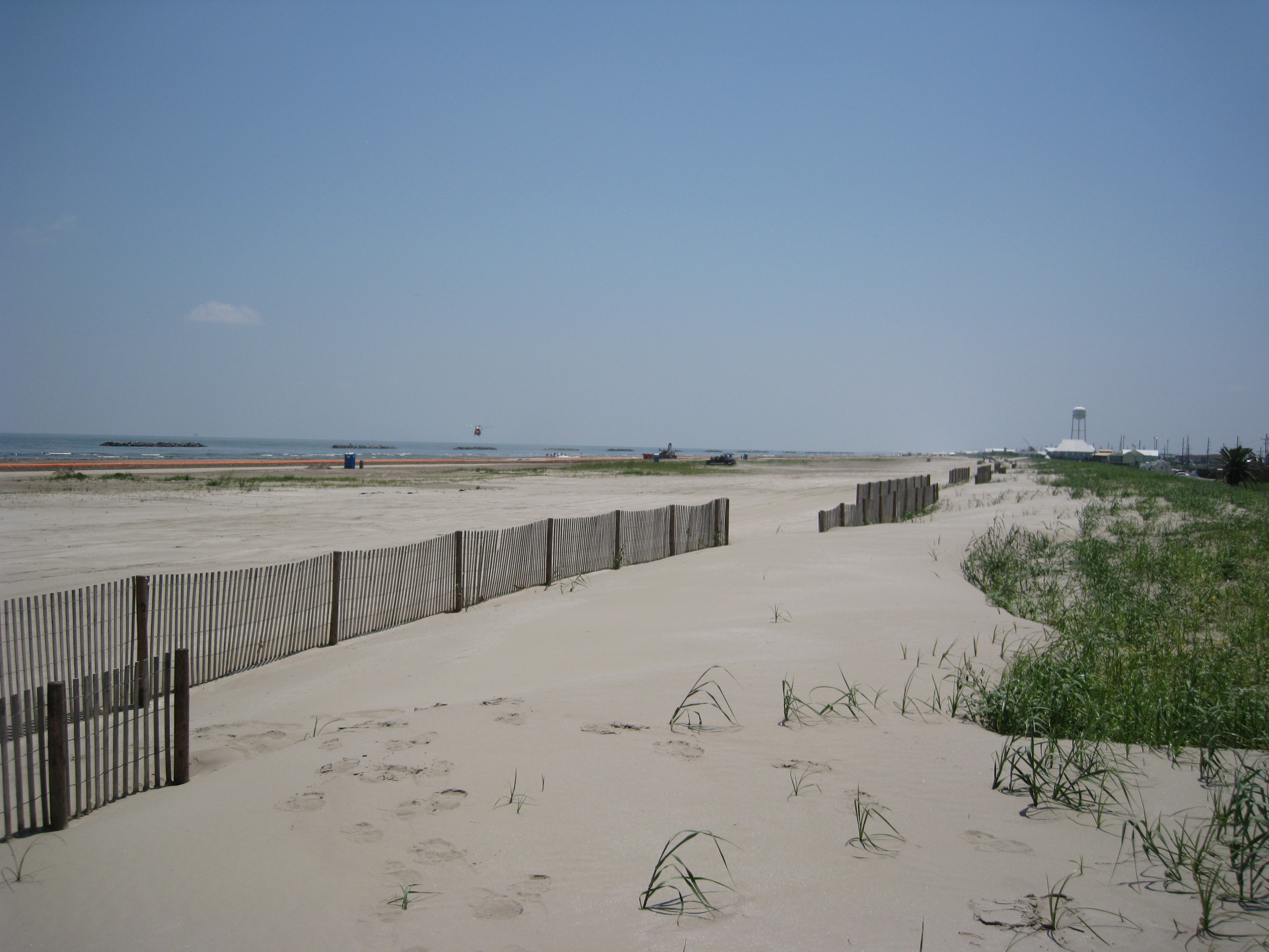
END_SAMPLE_DESCRIPTION.
XRD_ANALYSIS:
None
END_XRD_ANALYSIS.
COMPOSITIONAL_ANALYSIS_TYPE: None
COMPOSITION_TRACE: None
COMPOSITION_DISCUSSION:
No additional compositional details available.
END_COMPOSITION_DISCUSSION.
MICROSCOPIC_EXAMINATION:
END_MICROSCOPIC_EXAMINATION.
SPECTROSCOPIC_DISCUSSION:
END_SPECTROSCOPIC_DISCUSSION.
SPECTRAL_PURITY: 1a2_3_4_ # 1= 0.2-3, 2= 1.5-6, 3= 6-25, 4= 20-150 microns