
|
DOCUMENTATION_FORMAT: MIXTURE
SAMPLE_ID: DWO-3-DEL2d wet beach sand
MIXTURE_TYPE: Areal
MIXTURE: wet beach sand
FORMULA:
FORMULA_HTML:
COLLECTION_LOCALITY: Bird's Foot delta of the Mississippi river, Louisiana
COLLECTION_LATITUDE: 29.09709 deg. N
COLLECTION_LONGITUDE: 89.07347 deg. W
DATUM: WGS-84
ORIGINAL_DONOR: Raymond F. Kokaly
CURRENT_SAMPLE_LOCATION:
ULTIMATE_SAMPLE_LOCATION:
SAMPLE_DESCRIPTION:
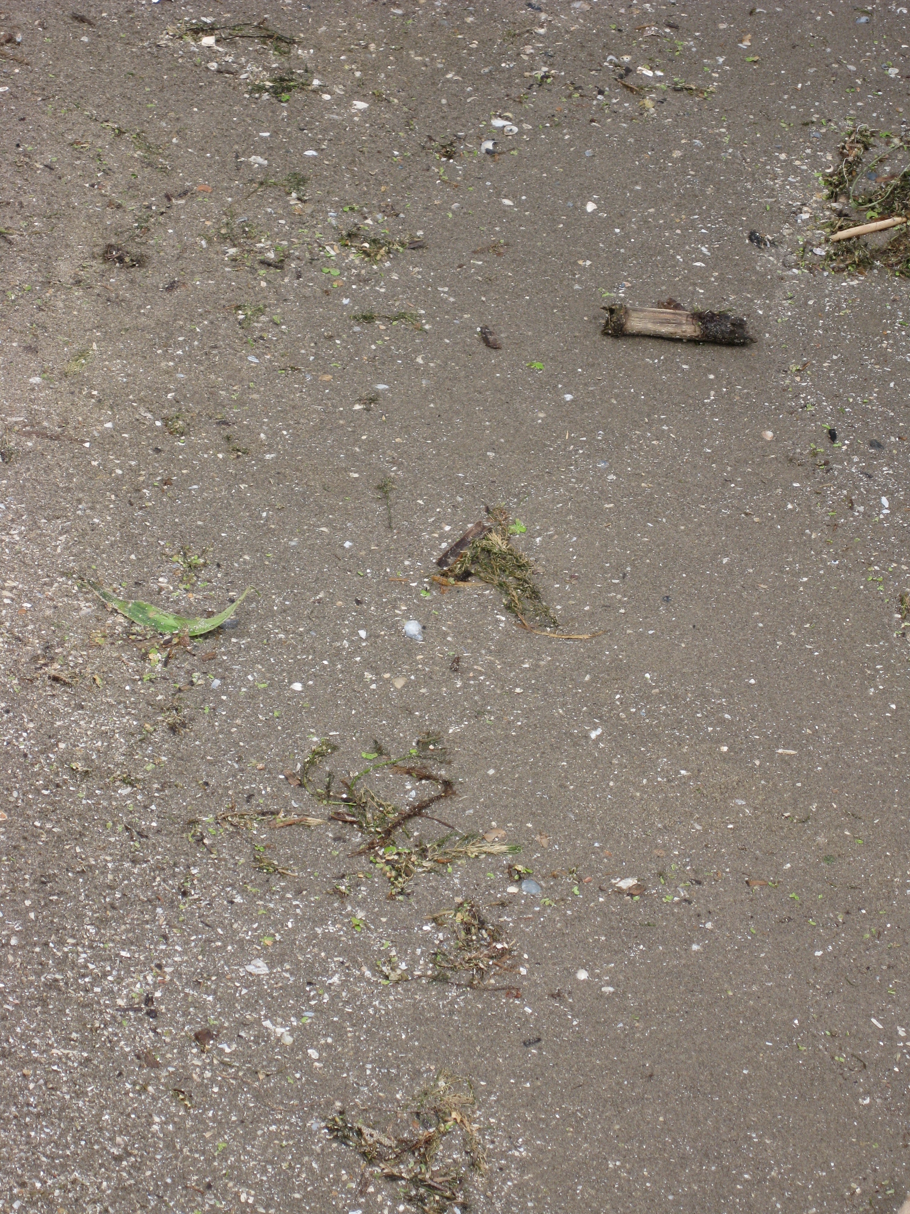
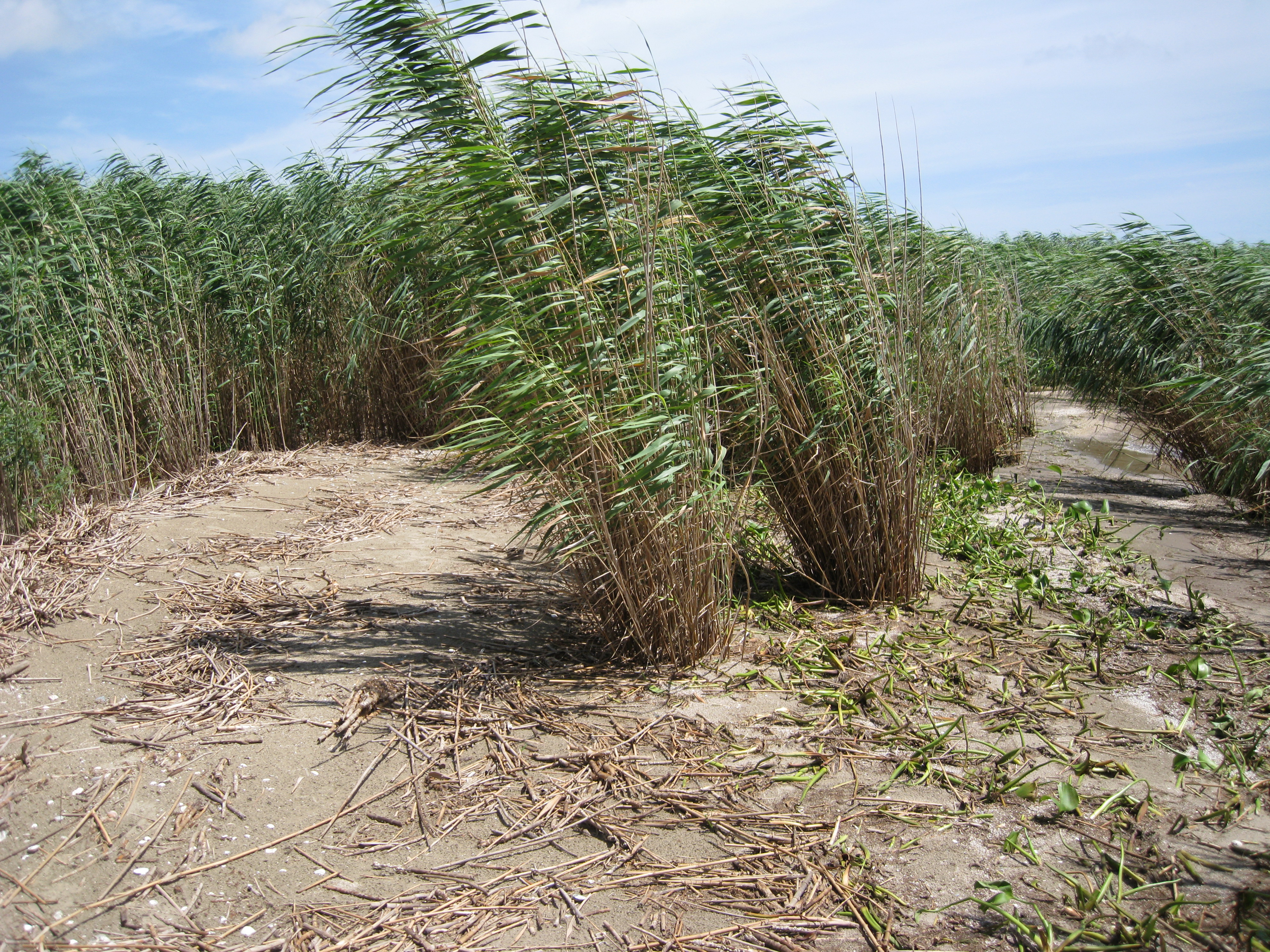
The area measured is at the end of the Mississippi river delta, an area known as the Bird's Foot. The spectrum is the average of wet, bare sand patches on the wet beach that appeared to be oil-free. The reflectance measurement was made on August 14, 2010.
The spectrum was used in: Kokaly, R.F., Couvillion, B.R., Holloway, J.M., Roberts, D.A., Ustin, S.L., Peterson, S.H., Khanna, S., and Piazza, S.C., 2013, Spectroscopic remote sensing of the distribution and persistence of oil from the Deepwater Horizon spill in Barataria Bay marshes, Remote Sensing of Environment, Volume 129, Pages 210-230. http://dx.doi.org/10.1016/j.rse.2012.10.028
IMAGE_OF_SAMPLE: 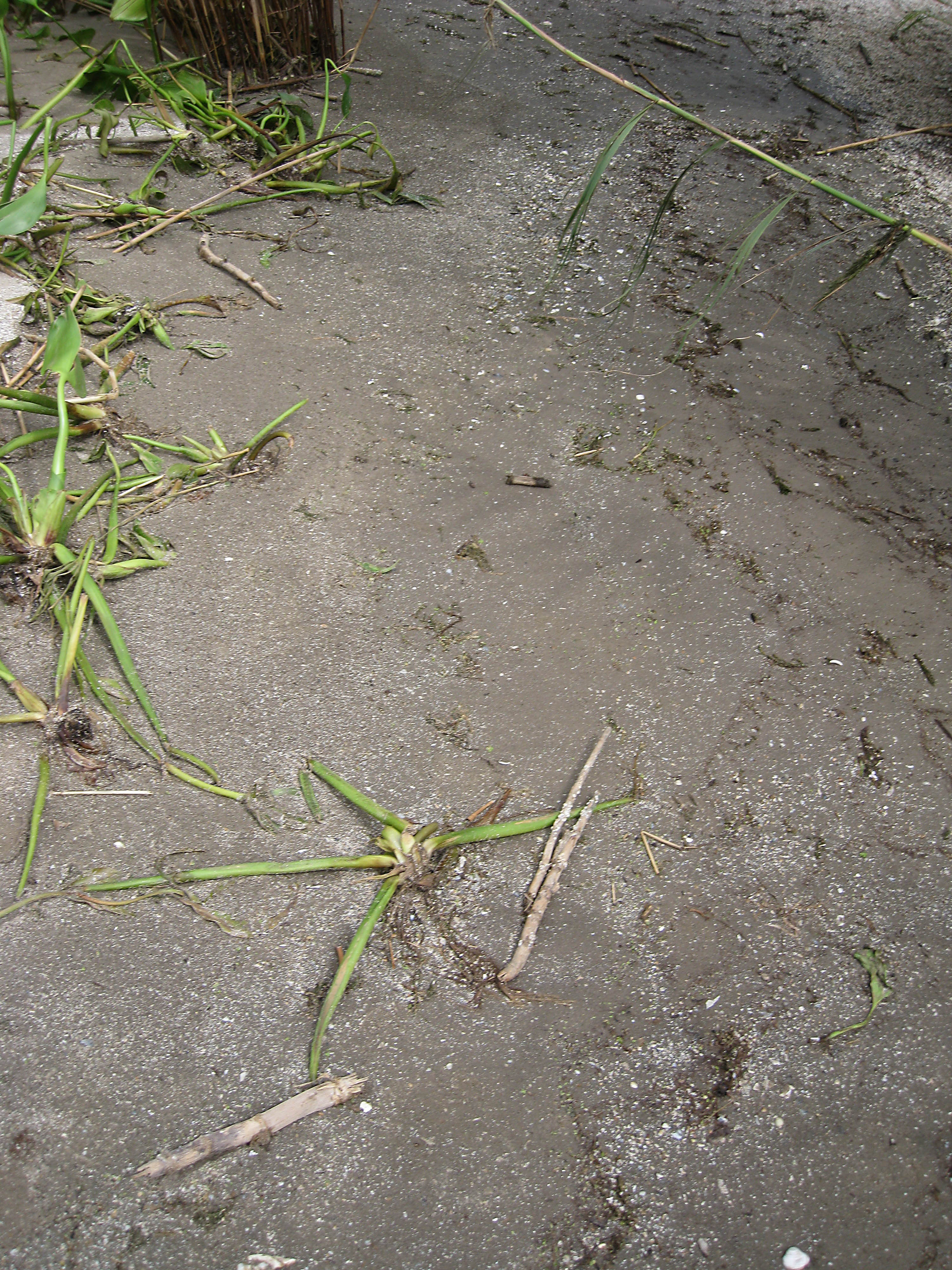
END_SAMPLE_DESCRIPTION.
XRD_ANALYSIS:
None
END_XRD_ANALYSIS.
COMPOSITIONAL_ANALYSIS_TYPE: None
COMPOSITION_TRACE: None
COMPOSITION_DISCUSSION:
No additional compositional details available.
END_COMPOSITION_DISCUSSION.
MICROSCOPIC_EXAMINATION:
END_MICROSCOPIC_EXAMINATION.
SPECTROSCOPIC_DISCUSSION:
END_SPECTROSCOPIC_DISCUSSION.
SPECTRAL_PURITY: 1a2_3_4_ # 1= 0.2-3, 2= 1.5-6, 3= 6-25, 4= 20-150 microns